Icknield Street – also known as Ryknild Street – is a Roman road built approximately 1,900 years ago, and one of the most remarkable historical features hidden within Sutton Park. Often cited as the oldest street in Birmingham, it is referenced by secretbirmingham.com as a must-know piece of the city’s ancient history. A preserved section of the original Roman causeway survives within the park, still recognisable by its characteristic raised alignment and arrow-straight course. Walking it is one of the most tangible connections you can make with the Roman occupation of the Midlands.
What is Icknield Street?
Icknield Street (Ryknild Street) was a major Roman road running north-south through the heart of Britain. Its route extended from Bourton-on-the-Water in Gloucestershire northwards through Birmingham and Sutton Coldfield, continuing to Wall (the Roman town of Letocetum, near Lichfield) and onward to Derby (Derventio) and beyond. It formed a key axis of the Roman road network in the Midlands, connecting the military and civilian infrastructure of the region.
The road was built by Roman engineers to the characteristic standard of Roman military road construction: a raised causeway (known as an agger) of compacted gravel and stone, flanked by drainage ditches, running in long, straight sections between surveyed points on the landscape. This combination of straightness and elevation makes Roman roads identifiable even two millennia after their construction.
The Route Through Sutton Coldfield
Icknield Street enters Sutton Park from the south, crossing the A4041 Lichfield Road near Mere Green and entering the park in the vicinity of Town Gate. It then passes northward through the park in a remarkably straight alignment before exiting at the northern end near Four Oaks. The road does not follow the natural contours of the landscape but instead cuts across them, climbing slight gradients in a way that immediately distinguishes it from medieval and later tracks that tend to curve around obstacles.
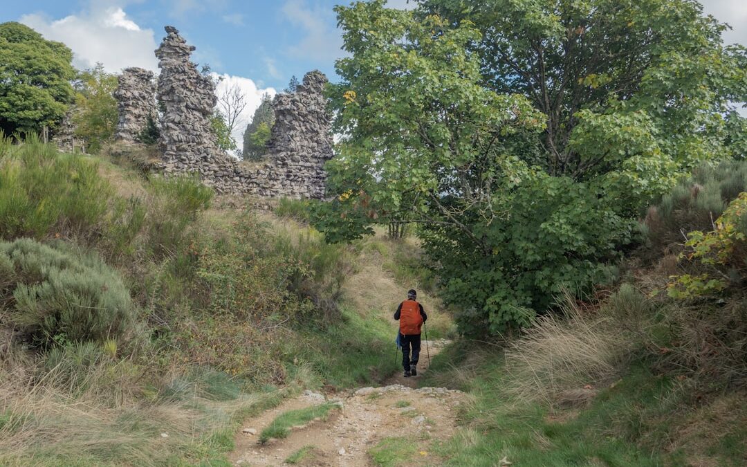
Within Sutton Park, the road runs for approximately 2 miles through the park, passing through open heathland, along the western edges of the woodland sections, and across the low ridges that characterise this part of the West Midlands plateau. The preserved section is unmistakable once you know what you are looking for: a raised bank, typically 6-8 metres wide and raised 30-60 centimetres above the surrounding ground surface, running straight as a surveyor’s line across the heather and grass.
What to Look For
Walking Icknield Street through Sutton Park requires no specialist knowledge, but understanding what you are seeing transforms the experience.
The agger (raised causeway): The most visible feature is the raised roadbed itself. Roman engineers piled a foundation of large stones and cobbles, topped this with a layer of compacted gravel, and crowned the whole structure in a camber to drain rainwater to the sides. After 1,900 years, this mound of material still stands proud of the surrounding land. In low morning or evening light, the shadows thrown by the agger make it dramatically visible across the open heathland.
Straightness: Look down the line of the road and you will see how it extends in a dead-straight line towards the horizon. Roman surveyors used a tool called a groma to maintain these alignments across miles of landscape, and the precision of their work is still evident today.
Drainage ditches: On either side of the raised road, low depressions indicate the positions of the original flanking ditches. These are now grassed over but can be spotted as slight hollows running parallel to the causeway.
Best Access Points for Walking the Roman Road
The most convenient starting points for walking Icknield Street through Sutton Park are:
- Town Gate (Park Road): The southern entry point. From here, the Roman road heads north across the open heathland of the southern park, giving clear views of the agger in the foreground and the woodland in the middle distance.
- Streetly Gate (A454 Streetly Lane): The western gate gives access to the central section of the road’s route through the park, avoiding the busy southern approach.
- Four Oaks Gate (Hartopp Road): The northern approach, from which the road can be walked southward into the park. This approach offers the best views of the heathland landscape on the northern plateau.
A linear walk along the road’s full length through the park (approximately 2 miles) can be made using the bus to return from one end to the other, or the route can be incorporated into a circular walk by returning via one of the pool circuits.
Historical Context: The Romans in the Midlands
The construction of Icknield Street dates from the period following the Roman conquest of Britain (AD 43). The Midlands were subdued during the campaigns of the late 40s and 50s AD, and the road network was established partly for military supply purposes and partly to facilitate the administration and economic exploitation of the newly conquered territories. The town of Wall (Letocetum), just north of Sutton Coldfield on Watling Street, was an important staging post on the road network, with a mansio (official inn) and bathhouse that are now preserved and open to the public by English Heritage.
The Roman presence in the Birmingham area was relatively light compared to the major military and urban centres of the Midlands. Icknield Street served as a trunk road rather than a focus of settlement, and archaeological finds along its Sutton Coldfield route have been sparse. However, the road’s very survival, preserved within the common land of Sutton Park for centuries, is itself a remarkable historical accident – one that allows us to walk in the literal footsteps of Roman soldiers and merchants nearly two thousand years after they first made this journey.